2020-09-21, 13:15–13:45, Room 1
With satellite imagery data so abundantly available in the public domain i.e the likes of Landsat-8, Sentinel-2, it's high time that we build automated systems to capture, analyze, and derive meaningful insights out of them.
This talk would be about setting up an end-to-end pipeline with Python to search, process, and output insights from raw earth observation data.
In 2020, we have more amount of earth observation data in the public domain freely available, than ever before. The likes of Sentinel-2, Landsat-8, NOAA, are available for download and processing under unrestricted licenses. This talk would be about how to download and process them to gain meaningful insights, which would in turn benefit individual researchers and groups working towards the well-being of mankind and planet earth.
felicette is an open-source tool under MIT license to download and process satellite data from the command-line. Understanding its parts and functioning can help the audience build their own autonomous systems and pipelines to process satellite data seamlessly.
Following is an outline of the talk, and the corresponding time duration
Duration in minutes - Topic
0-3 - About me, Outline of the talk
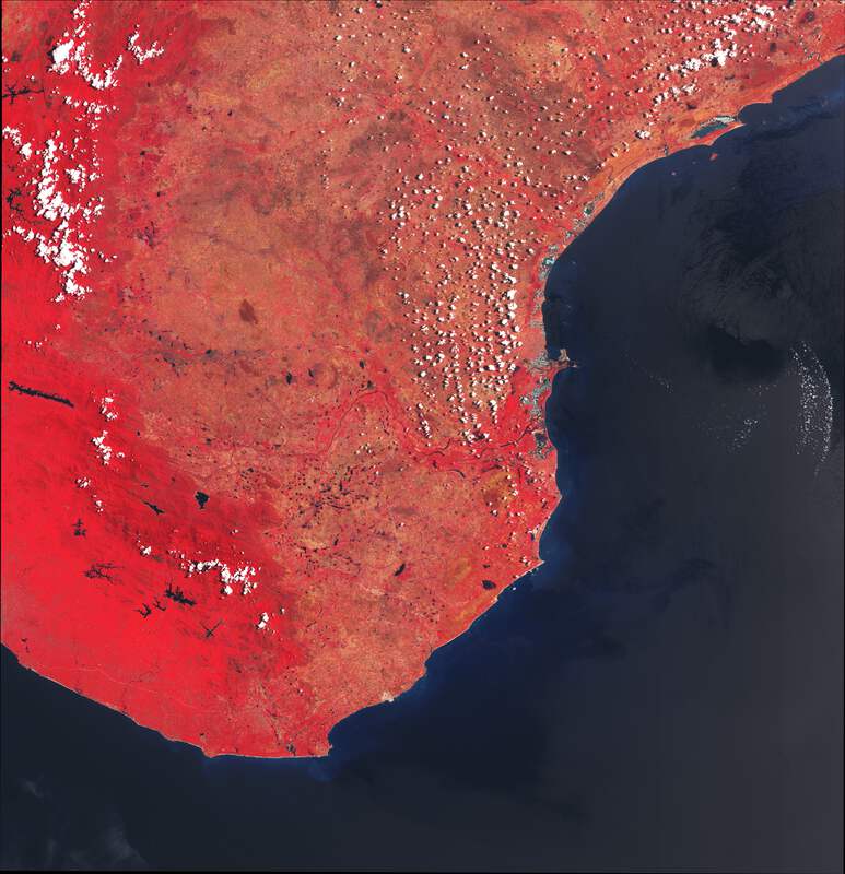
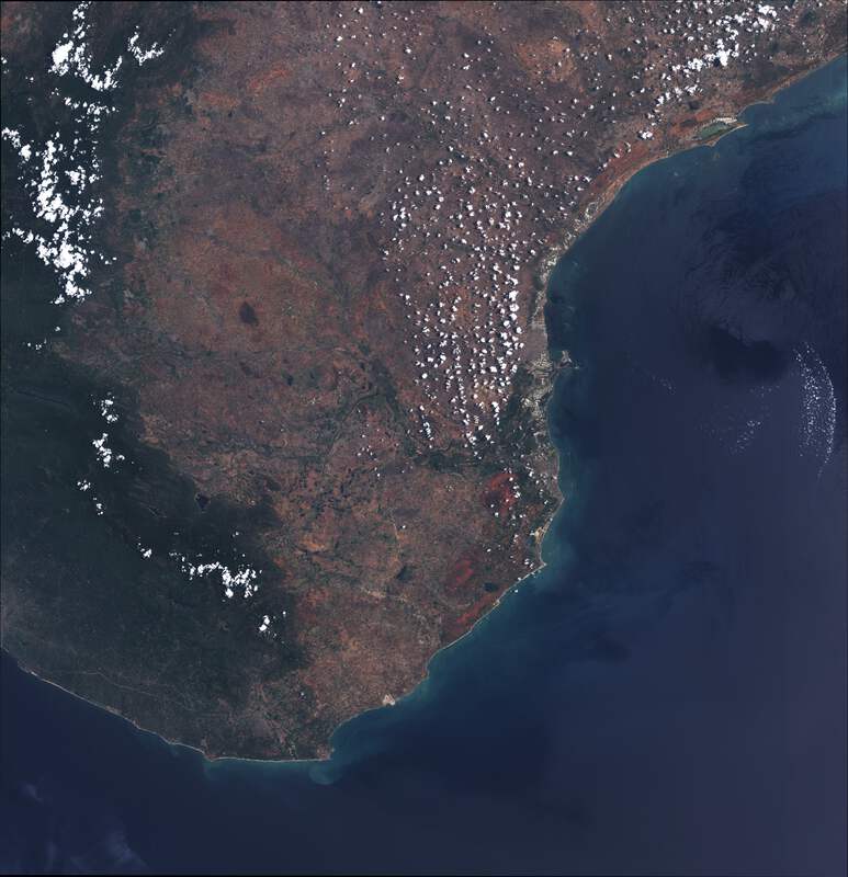
3-9 - What are satellite data? What are earth observation(EO) data? How are they sensed with satellites? What are bands?
9-11 - Open and public sources of earth observation data
11-14 - Format of geographical data, introduction to rasterio
14-15 - Parts of a typical pipeline to handle satellite data i.e searching, downloading, processing
15-20 - Code demonstration in the form of a notebook, to search, download and store satellite data with Python
20-22 - Types of terrestrial insights we can draw from the available bands from public data sources
22-24 - Code demonstration of processing the downloaded bands with Python to generate meaningful tiff/jpeg images
24-25 How to make the pipeline realtime? Amazon SNS, and brief case-study of aggibot
25-26 - Publishing the insights with mapbox/mapserver
26-30 - Q&A