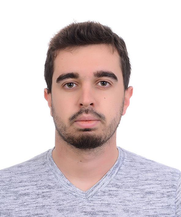
Ozan Tunçbilek
I completed my Bachelor of Science degree in Geomatics Engineering at the Istanbul Technical University. Starting from young age, I was always interested in geography and maps, which allowed me to broaden my knowledge and explore the world. I enjoyed traveling and I took part in many international projects, in the USA, Canada, and the Netherlands for the Comenius Project. Afterwards, during university I had the chance to spent one semester in Aristotle University in Thessaloniki Greece, thanks to the Erasmus + exchange program. Currently, I am enrolled in Erasmus Mundus Joint Master’s Degree Program, Cartography. Its first semester takes place Technische Universität München (TUM) in Germany, second semester at the TUW in Austria, and third semester at the Technische Universität Dresden (TUD) in Germany. During my previous studies, I have covered topics about Geodesy, Photogrammetry, Surveying, Cartography and 3S (GIS, Remote Sensing and GPS). My interest in computer science and maps motivated me to concentrate on GIS and data science, which eventually let me shape my career by doing internships, bachelors’ thesis and self-studying about these topics. I have worked on a web-based GIS service for processing Turkey’s satellite images of vegetation through related organizations in ITU Research and Application Center for Satellite Communications and Remote Sensing and have completed a database management internship at Here Technologies

Talks
Geo data Visualisation of Twitter Users in Istanbul
This talk focuses on the normalization of Twitter users data collected in Istanbul, Turkey to provide a base for certain research topics such as locating emergency meeting points, detecting unexpected events, relieving traffic jams.