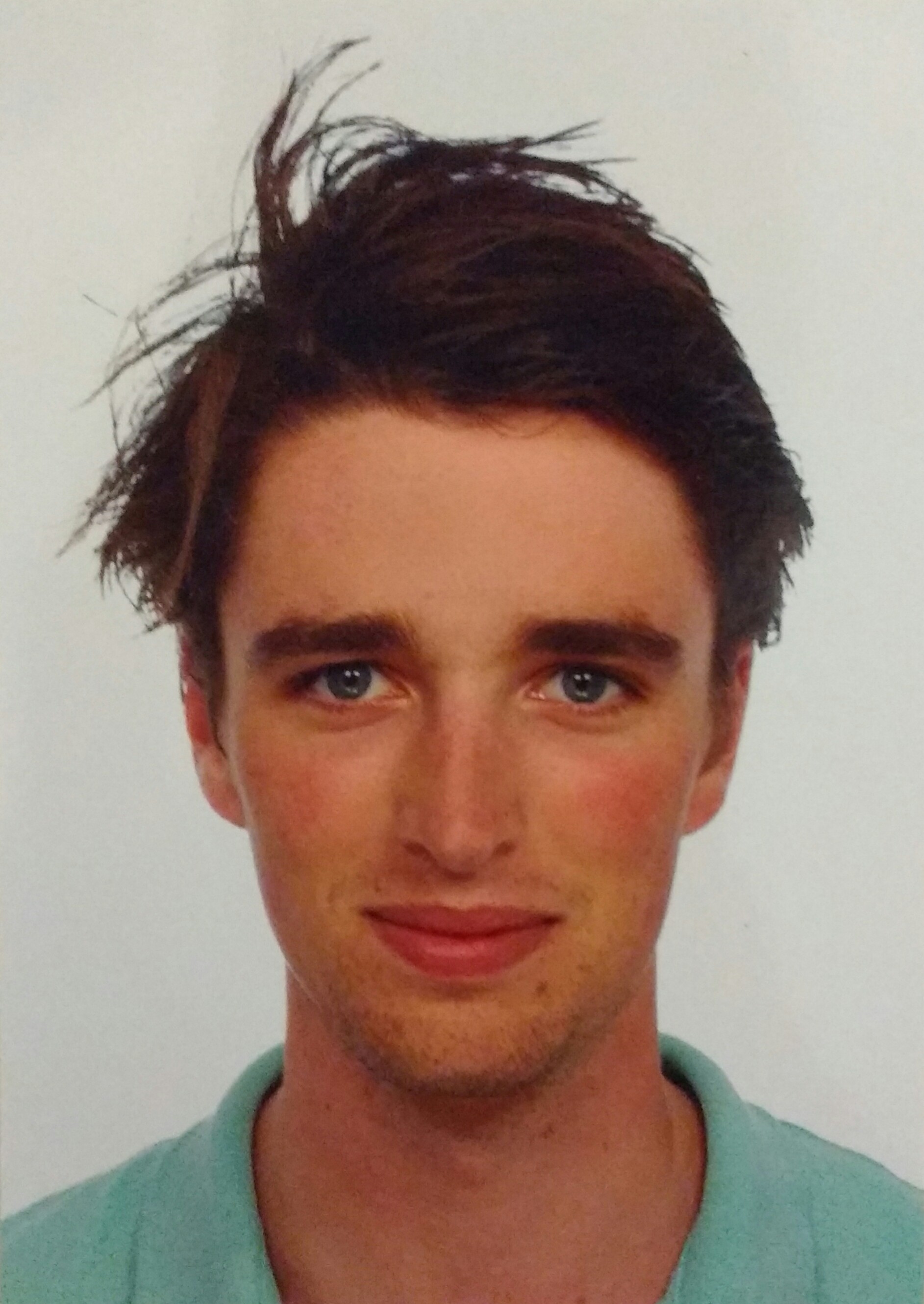
Lucas van der Meer
I am a recently graduated Master of Science in Geospatial Technologies, specialized in geospatial data science and spatial statistics. My passion is to approach spatial, environment-related problems from a technical, data-based point of view. In practice, this comes down to developing software using R, Python and SQL. Currently I am working as a researcher at the University of Salzburg, Department of Geoinformatics (Z_GIS). I am involved in the Sen2Cube.at project, which aims to develop a semantic querying system for Earth observation imagery.
The Sen2Cube.at project is lead by associate professor Dirk Tiede, and involves researchers Dr. Martin Sudmanns, Hannah Augustin and Christian Werner, as well as software engineer Steffen Reichel from Spatial Services GmbH.

Talks
A semantic querying system for Earth observation imagery
Sen2Cube.at is a first step towards a semantic querying system for Earth observation imagery. It implements a Python-based inference engine that can be used to directly infer information from EO imagery without the need for domain knowledge or programming skills.