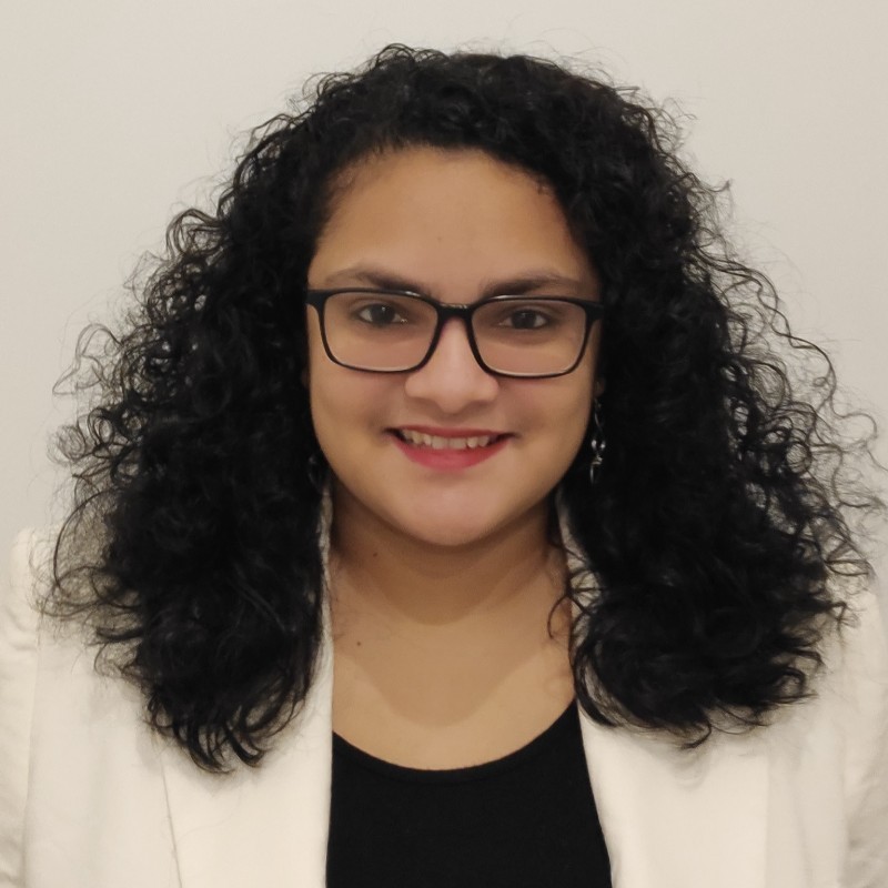
Itzá Alejandra Hernández Sequeira
Itzá Hernández-Sequeira (@itzahs) is a specialist in applications of geospatial technologies for early warning systems such as drought and hurricane monitoring. She has combined her experience in Geographic Information Systems (GIS) and Remote Sensing with Agriculture by classifying types of crops from satellite images and Artificial Intelligence algorithms. Itzá is currently a Ph.D. candidate in Computer Science at the Institute of New Imaging Technologies (INIT) from Jaume I University.

Talks
Semi supervised classification for aerial imagery
With the help of current semi-supervised learning algorithms, we can classify aerial scenes using 4, 20, or 40 labeled examples per class and still obtain similar accuracies as training with numerous labeled examples. With this workshop, we want to show the semi-supervised learning algorithms currently available and how to use the repositories available for scene classification.